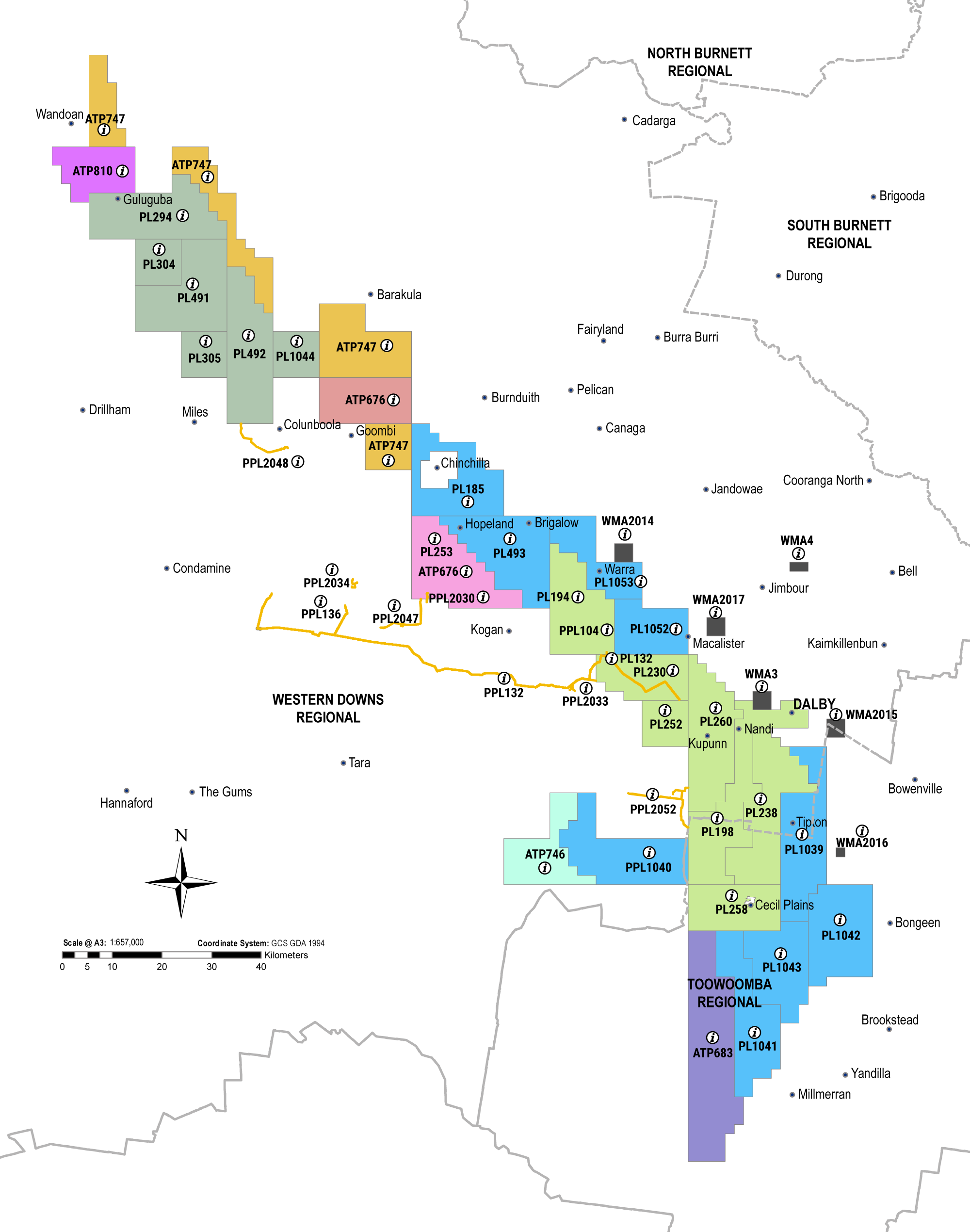
The following map shows some of Arrow’s current Government approvals in the Surat Basin. It is accompanied by a reference table below that you can search. You can also find further mining and exploration data using Queensland’s Geo ResGlobe. GeoResGlobe has over 600 spatial data layers that include themes such as exploration, production and historical resource authorities, geological and geophysical data, native title areas, administrative boundaries and more.
Open interactive version of the map here.
Environmental Protection Act 1994 Public Register
Search for environmental authorities here